
You are looking at what was, and still might be, the most dangerous section of the Canadian Pacific Railway. This is the lower spiral tunnel with a train going from left to right on the tracks just above the tunnel entrance in the center of the post card. Of course, being named the lower spiral tunnel gives the correct impression that there is an upper spiral tunnel. That tunnel is behind the photographer of this picture and up the hill. These two tunnels replaced the tracks that were laid on what was known as “The Big Hill”. It was located on the main (only) line between Calgary, Alberta and Port Moody, British Columbia – much closer to Calgary. Trains on The Big Hill have to ascend just over 1,000 feet in 10 miles between Field, British Columbia and the Continental Divide in the Canadian Rockies, which forms the border between the provinces of Alberta and British Columbia (BC). My math tells me that this is a 2.03% grade, a very safe grade. Unfortunately, the track could not ascend at a proper and steady rate. At Mount Stephen, the engineers decided to go as straight through the canyon as possible. This produced a steep grade of almost 4.5% at one spot along the line. They also engineered into this section three escape-spurs in case the train’s brakes gave out or could not hold up against the wait pushing it down the hill.
We have to remember that British Columbia was promised a railroad connection to the rest of the country within 10 years of them joining the Dominion of Canada. The final spike mentioned in an earlier post happened in 1885, four years past the deadline promised. CP Rail was facing some serious pressure to get to BC. This route was to be temporary route that satisfied the politicians and citizens of the BC. It remained the temporary line for 25 years, until the opened the Spiral Tunnels on September 1, 1909. The work started in 1907 and cost $1.5 million dollars at that time.
Today, as a train leaves Field headed for Calgary in the Laggan Subdivision on the new route (a journey of 136.6 miles = NOT as the crow flies), it slowly ascends the valley on the old track. After almost seven miles, at the bottom of Mount Ogden (the station is known as YOHO), the train enters the lower spiral tunnel. It travels three quarters of a circle in the tunnel for just under 3,000 feet rising up the inside of the mountain by 50 feet. It then crosses the Kicking Horse River and goes back in the direction it just came from (toward Field) as it rises up the side of the canyon wall. Soon, it enters the next spiral tunnel – this one in Cathedral Mountain. This tunnel, too, is about 3,000 feet long and is a three quarter circle. Inside this tunnel the train rises up another 50 feet. Then it continues up to the double tracks at Divide, followed by its 121.5 mile journey to Calgary.
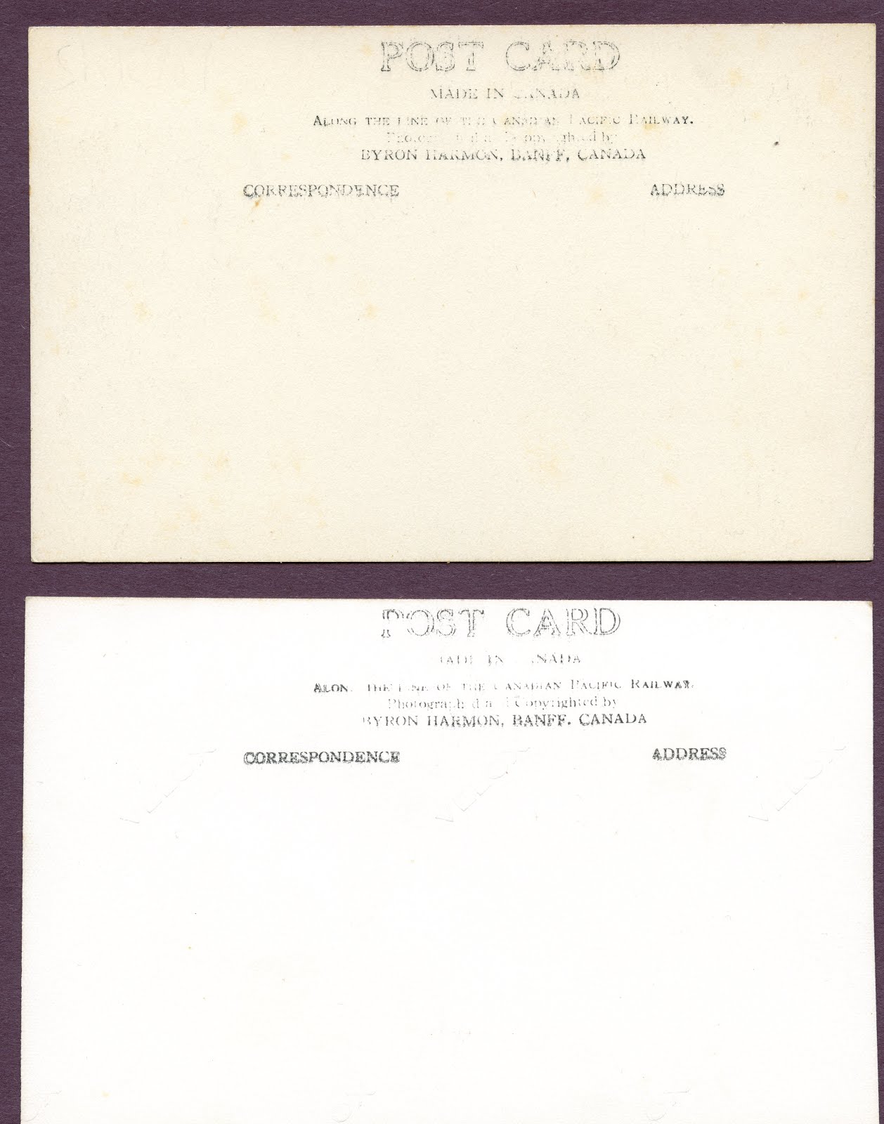
These two post cards are the same picture; they even have the same number and title handwritten on the front. One is done is sepia tone and the other is in black and white. They both have the same stamp on the back, too. The top of the stamp says, "POST CARD". Below that is MADE IN CANADA; followed by Along the Line of the Canadian Pacific Railway. Then we read, "Photographed and Copyrighted by BYRON HARMON, BANFF CANADA" The same rubber stamp tells us that the right side of the post card is for the address and the left if for the correspondence.
This begins a series of pictures taken by the same photographer: Byron Harmon, who worked out of Banff, Alberta. I will write more about him as this series progresses.
No comments:
Post a Comment
If you know anything about the history of the cards, the trains or the locations, please add them.